Set up the integration
In order to use this integration, you must register a Google Cloud Platform (GCP) API access token. The scope of this access token will be the scope that Blaxel has access to. First, generate a GCP API key from your GCP ‘API & Services’ section. Then on Blaxel, in the workspace settings, in the Google Maps integration, paste this token into the “API key” section.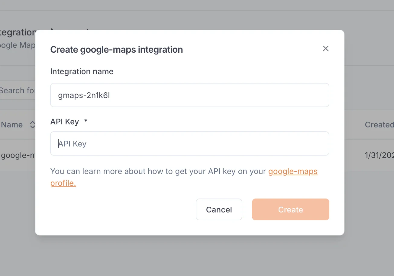
Create a Google Maps function
Once you’ve set up the integration in the workspace, any workspace member can use it to create a Google Maps function. When creating a function, select Google Maps. After the function is created, you will receive a dedicated global Blaxel endpoint to call it.Available tools
This integration provides the following tools:maps_geocode: Convert an address into geographic coordinatesmaps_reverse_geocode: Convert coordinates into an addressmaps_search_places: Search for places using Google Places APImaps_place_details: Get detailed information about a specific placemaps_distance_matrix: Calculate travel distance and time for multiple origins and destinationsmaps_elevation: Get elevation data for locations on the earthmaps_directions: Get directions between two points